Understanding what drives our planet: At GFZ, scientists investigate Earth's dynamic systems – from deep geophysical processes beneath the surface to the far-reaching effects of climate change.

Through HIDA’s mobility programs, data science talents at GFZ can contribute to pioneering research on the dynamics of our planet.
About the Helmholtz Association
The Helmholtz Association
The Helmholtz Association is Germany’s largest scientific organization. Our cross-cutting research programs connect the 18 Helmholtz research centers.
Each center has its own scientific focus areas and infrastructures. The research is thematically structured into six fields:
- Energy
- Earth & Enviroment
- Health
- Information
- Aeronautics, Space & Transport
- Matter
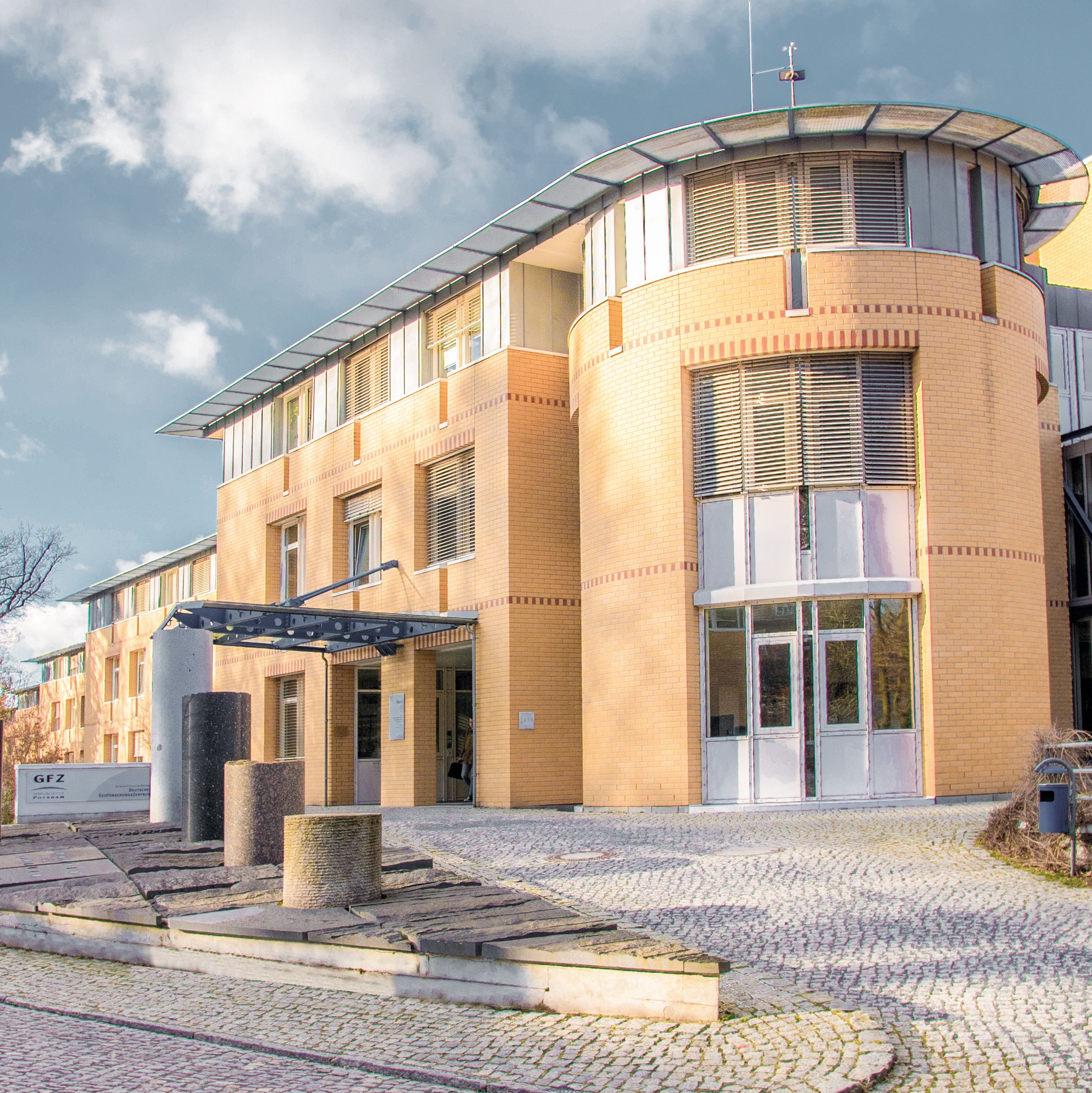
The GFZ German Research Centre for Geosciences is Germany’s leading institution for the study of the Earth system. Researchers analyze the physical, chemical, and biological processes that shape our planet. GFZ’s mission is to advance interdisciplinary research and cutting-edge technologies to deepen our understanding of natural hazards, geological resources, and global change – and to develop sustainable solutions for society’s most pressing challenges.
Research priorities:
- Geodynamics and plate tectonics
- Earth system and climate research
- Seismology and natural hazard analysis
- Geomagnetism and satellite geodesy
- Geothermal energy and sustainable energy production
- Digital geosciences and data science
The sites & research infrastructure
The sites & research Infrastructure
Main Location: Potsdam (Albert Einstein Science Park on Telegrafenberg)
Research Infrastructure and Collaborations:
-
Satellite Missions: GRACE-FO (Earth’s gravity field), EnMAP (hyperspectral Earth observation), Swarm (Earth’s magnetic field)
-
Global Monitoring Networks: GEOFON (seismological network), geomagnetic observatories (e.g., Niemegk)
-
State-of-the-art analytical and experimental laboratories
-
Data Centers: GFZ Information Services and Data Center (ISDC), GEOFON Data Center
-
Digital Platforms and Research Data Infrastructures: NFDI4Earth, EPOS
-
High Performance Computing infrastructures for the simulation of geophysical processes
-
Satellite ground stations in Potsdam and Ny-Ålesund (Svalbard)
-
Geomagnetic Observatory Niemegk
-
Seismological stations worldwide
GFZ expertise in the field of Data Science and AI
GFZ leverages powerful AI models and big data analytics to decode complex geophysical and climatic processes. Interdisciplinary teams develop innovative simulation methods and analytical tools that enable new insights into the Earth system.
- AI-supported early warning systems for earthquakes and tsunamis
- Automated pattern recognition in geophysical measurement data
- Machine learning for modeling climate change
- Development of digital twins of the Earth system
- Multimodal data integration to enhance geological forecasting models
Selection of Data Science Innovations and Initiatives at GFZ
- Helmholtz AI & Big Data: Co-development of AI foundation models for the global carbon budget
- Training of early-career researchers in Data Science and Geosciences through partnerships with HEIBRIDS & NFDI4Earth Academy
- Projects like „Digital Earth": Integration and visualization of complex geo- and environmental science datasets
- FERN.Lab: Analysis of remote sensing data with AI for environmental and climate applications
- "Participation in NFDI4Earth & EPOS: Development of open research data infrastructures"
- Interest Group MachineLearning@Telegrafenberg – Exchange between scientists working at the interface of data and Earth system sciences
With more than 1,600 employees, the GFZ in Potsdam offers excellent research conditions. Researchers benefit from the unique combination of geoscientific expertise, digital technologies, and access to global monitoring systems.
Application
Would you like to conduct research and work at GFZ? Then apply now for the HIDA Mobility Program!
Please contact your potential supervisor by email before applying to propose and discuss a research project. Only submit your application after this has been clarified.
You can find more information about the application requirements here.
Note for external applicants:
If you have any questions about application formalities or organizational procedures, please contact your home institution directly.
The Hosts at GFZ
Get to know some of the hosts at GFZ and learn more about their respective research based on data science.
Please note: The listed hosts represent only a selection of possible supervisors.
You are also welcome to independently contact other potential hosts at the center and coordinate your participation in the HIDA Mobility Program directly with them.
If you have any questions, please send an email to: hida@helmholtz.de
Are you interested in becoming a Helmholtz host yourself and looking for support for your research project?
Then please also contact the above-mentioned email address.
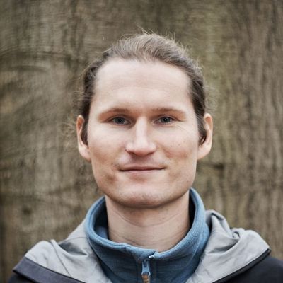
Benjamin Brede
Remote Sensing and Geoinformatics
Contacts
GFZ Helmholtz Centre for Geosciences - Section 1.4 Remote Sensing and Geoinformatics
Three-sentence summary of your group's research: We link fine scale observations of vegetation to global satellite observations in order to calibrate and validate EO products. For this we use proximal remote sensing like Terrestrial and UAV laser scanning, radiative transfer models and machine learning.
What infrastructure, programs and tools are used in your group? UAV and terrestrial laser scanning, hyperspectral imaging.
What could a guest researcher learn in your group? How could he or she support you in your group? A researcher can learn to design field experiments that aim to link local to global observations of vegetation. A researcher can support the group with novel ideas on using AI and machine learning, in particular to apply on point cloud data.
Sven Fuchs
Hydrothermal Energy
Contacts
GFZ Helmholtz Centre for Geosciences - Hydrothermal Systems
Short summary of your group's research: Our working group explores the Earth’s thermal field and geothermal resources, studies involved processes, quantifies their relevance, and provides knowledge on its behavior over time and across scales. The group is aimed at identifying priority targets for different geoenergy utilizations. With our work, we contribute to the transformation of the conventional energy system and to the reduction of CO2 emission.
With an applied focus, we elaborate exploration strategies to advance the successful development of geoenergy utilization in urban areas, where conventional surface exploration methods are often not applicable. We develop advanced methodologies for cross-scale characterization and for a better scale-dependent parameterization of the subsurface for risk reduction. A key concept is to combine geological expertise with a multi-methodological approach to establish adequate and reliable conceptual subsurface models. Fields of application include the sustainable provision of geothermal energy or the successful application of (thermal) storage systems.
With a more fundamental perspective, we investigate thermal processes in the crust and analyze the thermal field (including heat flow), and provide boundary conditions for multi-process integrated geodynamic models. With the integration of multidisciplinary observation data, we improve the understanding of the present thermal state and involved processes in subsurface thermal geosystems: from local to global views, from rock to lithospheric scales and across time domains.
What could a participant of the HIDA Mobility Program learn in your group? How could he or she support you in your group? We welcome all researchers with interest in geothermal field exploration, numerical methods and related data science. A guest researcher could learn about thermal field modeling approaches and their applications. Possible joint projects could involve processing and mapping of regional to global heat flow data, conducting analysis of observational data for mapping applications.
Mahdi Motagh
Remote Sensing for Geohazards
Contacts
GFZ Helmholtz Centre for Geosciences - Remote Sensing for Geohazards
Three-sentence summary of your group's research: My research interests focus on the use of radar remote sensing data to investigate processes related to various types of geological phenomena and engineering applications, such as active tectonics, landslides, floods, groundwater extraction/injection, underground mining, glacier motion and ice mass change, dam stability, and anthropogenic activities in urban areas.
What could a guest researcher learn in your group? How could he or she support you in your group? Integration of SAR data with machine learning approaches to address natural hazards

Hui Tang
Hazards and Surface Processes Research
Contacts
GFZ Helmholtz Centre for Geosciences - Earth Surface Process Modelling/Hazards and Surface Processes Research Group
Short summary of your group's research: Our research group studies hazards and related surface processes across a wide range of environments, from mountain regions to coastal areas and even deep oceans, over different time scales. Our work has wide topics ranging from earthquake and tsunami, storm and hurricane, landslide and debris flow, to flood and paleo-flood. We use various tools and methods, including field surveys, remote sensing, environmental seismology methods, processes-based modelling, and data science methods, including machine learning to understand the physical processes behind all these natural hazards.
What infrastructure, programs and tools are used in your group? We use the High-Performance Computing infrastructure, including GPU and CPU clusters from our section, GFZ or Helmholtz association, as our main computation resource. For programming languages, we have used different mainstream languages, including Fortran, C, C++, Python, R, Matlab, and Julia, depending on the project. Regarding the data science model, we develop and use open-source platforms such as Scikit-learn, Tensorflow, and PyTorch.
What could a participant of the HIDA Mobility Program learn in your group? How could he or she support you in your group? As an interdisciplinary and diverse research group, we can offer many opportunities for the participants with various interesting projects. There are two main types of projects: method-development-oriented projects and application-oriented projects. For a method-oriented, the participant could learn and develop physics-based machine learning methods for solving partial differential equations or investigating physics. An application-oriented participant could work on earth science or hazard-related research in the project using methods borrowing from computer vision, natural language processing, or signal processing. The participant will involve and support us in developing open-source data science model toolkits for the earth science and hazard science communities. Detailed project descriptions can be found on our group homepage. Feel free to contact us if you have any questions about the projects or bring your own ideas. We specifically welcome applicants from under-presented groups and third-world countries.