Verstehen, was die Erde bewegt: Am GFZ erforschen Wissenschaftler die Dynamik unseres Planeten – von geophysikalischen Prozessen im Erdinneren bis zu den Auswirkungen des Klimawandels.

Mit HIDAs Mobilitätsprogrammen können Data-Science-Talente am GFZ an wegweisenden Forschungsprojekten zur Dynamik unseres Planeten mitwirken.
Über die Helmholtz-Gemeinschaft
Die Helmholtz-Gemeinschaft
Die Helmholtz-Gemeinschaft ist die größte Wissenschaftsorganisation Deutschlands. Unsere übergreifenden Forschungsprogramme verbinden die 18 Helmholtz-Zentren miteinander.
Jedes Zentrum verfügt über eigene wissenschaftliche Schwerpunkte und Infrastrukturen. Die Forschung ist thematisch in sechs strategische Bereiche gegliedert.
- Energie
- Erde und Umwelt
- Gesundheit
- Information
- Luftfahrt, Raumfahrt & Verkehr
- Materie
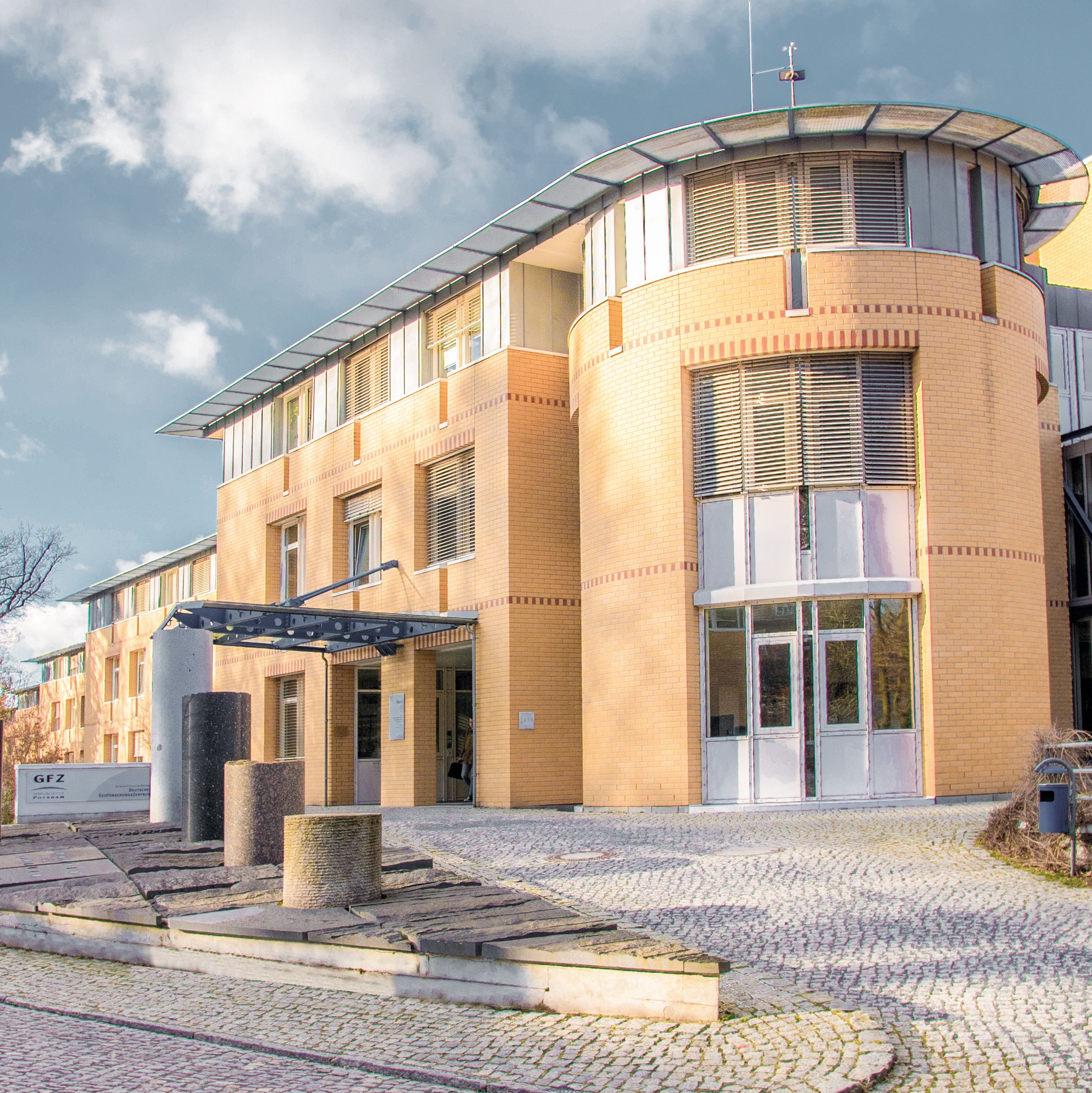
Das GFZ Helmholtz-Zentrum für Geoforschung ist das nationale Zentrum für die Erforschung der festen Erde. Ziel des GFZ ist es, dynamische Prozesse innerhalb und um die Erde zu verstehen, Naturgefahren besser zu erfassen, den menschlichen Einfluss zu analysieren und nachhaltige Strategien für den Umgang mit Ressourcen, Energie und Umweltveränderungen zu entwickeln. Die Forschung verbindet geowissenschaftliche Grundlagen mit praxisnahen Lösungen für gesellschaftliche Herausforderungen.
Forschungsschwerpunkte
- Geodynamik und Plattentektonik
- Erdsystem- und Klimaforschung
- Seismologie und Naturgefahrenanalyse
- Geomagnetismus und Satellitengeodäsie
- Geothermie und nachhaltige Energieressourcen
- Digitale Geowissenschaften und Data Science
Die Standorte & Forschungsinfrastruktur
Die Standorte & Forschungsinfrastruktur
Hauptstandort: Potsdam (Wissenschaftspark Albert Einstein auf dem Telegrafenberg)
Forschungsinfrastruktur und Kooperationen:
- Satellitenmissionen: GRACE-FO (Erdschwerefeld), EnMAP (Hyperspektrale Erdbeobachtung), Swarm (Erdmagnetfeld)
- Globale Messnetze: GEOFON (seismologisches Netzwerk), geomagnetische Observatorien (z. B. Niemegk)
- hochmoderne analytische und experimentelle Laboratorien
- Datenzentren: GFZ Information Services and Data Center (ISDC), GEOFON-Datenzentrum
- Digitale Plattformen und Forschungsdateninfrastrukturen: NFDI4Earth, EPOS
- High Performance Computing-Infrastrukturen zur Simulation geophysikalischer Prozesse
- Satelliten-Bodenstationen in Potsdam und Ny-Ålesund (Spitzbergen)
- Geomagnetisches Observatorium Niemegk
- Seismologische Stationen weltweit
Kompetenzen des GFZ im Bereich Data Science & KI
Das GFZ entwickelt innovative Methoden der Datenwissenschaft, Künstlichen Intelligenz (KI) und maschinellen Lernens zur Analyse geowissenschaftlicher Prozesse. Ziel ist es, aus globalen Messdaten neue Erkenntnisse über Naturgefahren, Klimawandel und geodynamische Prozesse zu gewinnen. Schwerpunkte sind:
- Entwicklung KI-gestützter Frühwarnsysteme (Erdbeben, Tsunamis)
- Automatisierte Mustererkennung in seismischen und geophysikalischen Daten
- Maschinelles Lernen für die Modellierung von Klimaveränderungen
- Digitale Zwillinge des Erdsystems
- Multimodale Datenintegration aus Erdbeobachtung, Sensorik und Modellierung
Auswahl Data-Science-Innovationen und Initativen am GFZ
- Helmholtz AI & Big Data: Mitentwicklung von KI-Grundlagenmodellen für das globale Kohlenstoffbudget
- Ausbildung des wissenschaftlichen Nachwuchses in Data Science und Geowissenschaften durch Partnerschaften mit HEIBRIDS & NFDI4Earth Academy
- Projekte wie „Digitale Erde“: Integration und Visualisierung komplexer geo- und umweltwissenschaftlicher Datensätze
- FERN.Lab: Analyse von Fernerkundungsdaten mit KI für Umwelt- und Klimaanwendungen
- Beteiligung an NFDI4Earth und EPOS: Entwicklung offener Forschungsdateninfrastrukturen
- Interessengruppe MachineLearning@Telegrafenberg – Austausch zwischen Wissenschaftlern, die an der Schnittstelle Daten- und Erdsystemwissenschaften arbeiten
Mit über 1.600 Mitarbeitenden bietet das GFZ in Potsdam exzellente Forschungsbedingungen. Forschende profitieren von der einzigartigen Kombination aus geowissenschaftlicher Expertise, digitalen Technologien und Zugang zu globalen Monitoring-Systemen.
Bewerbung
Sie möchten am GFZ forschen und arbeiten? Dann bewerben Sie sich jetzt für das HIDA Mobility Program!
Kontaktieren Sie Ihren potenziellen Betreuer oder Ihre potenzielle Betreuerin bitte vorab per E-Mail, um ein Forschungsprojekt vorzuschlagen und zu besprechen. Reichen Sie erst nach dieser Klärung Ihre Bewerbung ein.
Weitere Informationen zu den Bewerbungsregularien finden Sie hier!
Hinweis für externe Bewerber:
Bei Fragen zu Bewerbungsformalitäten und organisatorischen Abläufen wenden Sie sich bitte direkt an Ihr Heimatinstitut.
Die Hosts am GFZ
Lernen Sie hier einige potentielle Gastgeberinnen und Gastgeber am GFZ kennen und erfahren sie mehr über deren jeweilige Data Science-Forschung.
Bitte beachten Sie: Die hier aufgeführte Liste zeigt lediglich eine Auswahl möglicher Gastgeber.
Darüber hinaus können Sie auch eigenständig potenzielle Hosts im Zentrum kontaktieren und mit ihnen eine Teilnahme am HIDA Mobility Program vereinbaren.
Wenn Sie Fragen haben, senden Sie bitte eine E-Mail an: hida@helmholtz.de
Sie möchten selbst gerne Helmholtz-Gastgeber werden und suchen nach Unterstützung für Ihr Forschungsprojekt? Dann wenden Sie sich ebenfalls an die oben genannte E-Mail Adresse.
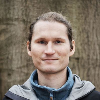
Benjamin Brede
Remote Sensing and Geoinformatics
Ansprechpartner
GFZ Helmholtz Centre for Geosciences - Section 1.4 Remote Sensing and Geoinformatics
Three-sentence summary of your group's research: We link fine scale observations of vegetation to global satellite observations in order to calibrate and validate EO products. For this we use proximal remote sensing like Terrestrial and UAV laser scanning, radiative transfer models and machine learning.
What infrastructure, programs and tools are used in your group? UAV and terrestrial laser scanning, hyperspectral imaging.
What could a guest researcher learn in your group? How could he or she support you in your group? A researcher can learn to design field experiments that aim to link local to global observations of vegetation. A researcher can support the group with novel ideas on using AI and machine learning, in particular to apply on point cloud data.
Sven Fuchs
Hydrothermal Energy
Ansprechpartner
GFZ Helmholtz Centre for Geosciences - Hydrothermal Systems
Short summary of your group's research: Our working group explores the Earth’s thermal field and geothermal resources, studies involved processes, quantifies their relevance, and provides knowledge on its behavior over time and across scales. The group is aimed at identifying priority targets for different geoenergy utilizations. With our work, we contribute to the transformation of the conventional energy system and to the reduction of CO2 emission.
With an applied focus, we elaborate exploration strategies to advance the successful development of geoenergy utilization in urban areas, where conventional surface exploration methods are often not applicable. We develop advanced methodologies for cross-scale characterization and for a better scale-dependent parameterization of the subsurface for risk reduction. A key concept is to combine geological expertise with a multi-methodological approach to establish adequate and reliable conceptual subsurface models. Fields of application include the sustainable provision of geothermal energy or the successful application of (thermal) storage systems.
With a more fundamental perspective, we investigate thermal processes in the crust and analyze the thermal field (including heat flow), and provide boundary conditions for multi-process integrated geodynamic models. With the integration of multidisciplinary observation data, we improve the understanding of the present thermal state and involved processes in subsurface thermal geosystems: from local to global views, from rock to lithospheric scales and across time domains.
What could a participant of the HIDA Mobility Program learn in your group? How could he or she support you in your group? We welcome all researchers with interest in geothermal field exploration, numerical methods and related data science. A guest researcher could learn about thermal field modeling approaches and their applications. Possible joint projects could involve processing and mapping of regional to global heat flow data, conducting analysis of observational data for mapping applications.
Mahdi Motagh
Remote Sensing for Geohazards
Ansprechpartner
GFZ Helmholtz Centre for Geosciences - Remote Sensing for Geohazards
Three-sentence summary of your group's research: My research interests focus on the use of radar remote sensing data to investigate processes related to various types of geological phenomena and engineering applications, such as active tectonics, landslides, floods, groundwater extraction/injection, underground mining, glacier motion and ice mass change, dam stability, and anthropogenic activities in urban areas.
What could a guest researcher learn in your group? How could he or she support you in your group? Integration of SAR data with machine learning approaches to address natural hazards

Hui Tang
Hazards and Surface Processes Research
Ansprechpartner
GFZ Helmholtz Centre for Geosciences - Earth Surface Process Modelling/Hazards and Surface Processes Research Group
Short summary of your group's research: Our research group studies hazards and related surface processes across a wide range of environments, from mountain regions to coastal areas and even deep oceans, over different time scales. Our work has wide topics ranging from earthquake and tsunami, storm and hurricane, landslide and debris flow, to flood and paleo-flood. We use various tools and methods, including field surveys, remote sensing, environmental seismology methods, processes-based modelling, and data science methods, including machine learning to understand the physical processes behind all these natural hazards.
What infrastructure, programs and tools are used in your group? We use the High-Performance Computing infrastructure, including GPU and CPU clusters from our section, GFZ or Helmholtz association, as our main computation resource. For programming languages, we have used different mainstream languages, including Fortran, C, C++, Python, R, Matlab, and Julia, depending on the project. Regarding the data science model, we develop and use open-source platforms such as Scikit-learn, Tensorflow, and PyTorch.
What could a participant of the HIDA Mobility Program learn in your group? How could he or she support you in your group? As an interdisciplinary and diverse research group, we can offer many opportunities for participants with various interesting projects. There are two main types of projects: method-development-oriented projects and application-oriented projects. For a method-oriented, the participant could learn and develop physics-based machine learning methods for solving partial differential equations or investigating physics. An application-oriented participant could work on earth science or hazard-related research in the project using methods borrowing from computer vision, natural language processing, or signal processing. The participant will involve and support us in developing open-source data science model toolkits for the earth science and hazard science communities. Detailed project descriptions can be found on our group homepage. Feel free to contact us if you have any questions about the projects or bring your own ideas. We specifically welcome applicants from under-presented groups and third-world countries.